11 April 2015
Lake #21: Caesar Creek Lake, Caesar Creek State Park, Warren,
Clinton, and Greene Counties
Spring was still fighting its arrival when I made my way to
Caesar Creek Lake; it was a sunny, 47 degrees at noon. Caesar Creek State Park
is located 5 miles east of Waynesville in southwestern Ohio. The park is leased
by the State from the U.S. Army Corps of Engineers. This park shows a sharp
contrast between the parts operated by the Corps and those operated by the
State. The Corps property is open and well maintained; whereas, the State
property has closed bathrooms, no trash cans, and is in decay. Unfortunately,
the poor condition of the property leased by the State is not an anomaly; it is
what I have been seeing all year. Obviously, our tax dollars are not at work at
the state parks.
I had never been to Caesar Creek State Park before and was
predisposed not to like it. Caesar Creek is easily accessible from I-71 and I
had passed signs for it numerous times on my way to Cincinnati. I had assumed
that since it was so easy to get to that the park would not be very nice and
that it would be over run with people. I am happy to say that I was wrong. I had
a great time and will definitely be going back.
The unlimited horsepower, 2,830-acre Caesar Creek Lake has
over 40 miles of shoreline with many coves, standing trees, and stump areas. The
lake is shaped like a boa constrictor with its dinner bulging out its tummy.
There is a 1,300-foot public swimming beach with changing booths, not something
I took advantage of the day I was there. The park covers 3,741 acres and offers
43 miles of hiking trails, from mild to extremely rugged. A 16-mile section of
the Ohio Buckeye Trail passes through the park. The park also has several
bridle and mountain bike trails. The park has camping with 283 electric sites,
showers, and flush toilets. All the campsites are pet friendly. There is also
an equestrian camp with 30 sites. There is a boat ramp located in the
campground that is free to use while camping; you can use it when not camping
by paying a $5.00 visitors fee.
Normally, the average lake depth is 20 feet at the north end
of the lake to over 100 feet on the south end near the dam. Caesar Creek Lake
is currently drawn down 16 feet so that construction on the new marina can be
completed. The marina is expected to open next summer. The water level will
begin to come back up on April 25th. The lake has 5 boat ramps. Due
to the lake’s lower water level, the park was recommending boaters put in at
the Wellman Meadows Boat Ramp near the dam, so that is where I headed.
 |
| View of Wellman Meadows Area From the Overlook Behind the Visitor's Center |
There were several boats launching near the dam. This wasn’t
a surprise since this was the only ramp location being recommended for use.
What did surprise me were the flush toilets that were actually open. I felt
like dancing a jig in celebration, after taking full advantage of the
facilities. Shortly after putting in, I had a 3 foot Muskie about scare me to
death when it latched onto my paddle blade.
 |
| Wellman Meadows Boat Ramp |
 |
| Looking Back Towards Put-In |
 |
| Evidence of 16 Foot Draw Down |
On January 1, 1937 there was a record flood in the Ohio
River Basin. The Ohio River rose 80 feet above the low water level in
Cincinnati. Many cities lost water, electricity, and gas services. Over 500,000
people were driven from their homes. As a result, on April 28, 1937 Congress
authorized the Caesar Creek Lake Project to build a reservoir for flood
control. Economic constraints and WWII put the project on hold until 1959 when
another major flood reminded everyone of the importance of the project. In
1962, Caesar Creek Lake received its initial funding and ground was finally
broke on August 30, 1971 with construction of the dikes. Construction of the
outlet works, dam, and spillway were commenced a year later.
 |
| Paddling West From Boat Ramp Towards Dam |
 |
| Caesar Creek Lake Dam and Outlet Works |
 |
| Caesar Creek Lake Outlet Was Pumping Hard |
Loons had been spotted visiting near Wellman Meadows. I
didn’t see any loons while paddling in this area but I did see Bonaparte’s
Gulls. The flock had both white-headed and hooded birds. In honor of this
sighting, I named the baby owl duck for this lake Bonaparte.
 |
| Flock of Bonaparte's Gulls |
 |
| Blogger Mama Duck With Baby Duck Bonaparte |
 |
| Caesar Creek Lake's Baby Duck Bonaparte |
After running off the gulls, I headed to the southern finger of Caesar Creek Lake. There were a couple fishermen in the area trying their luck. I enjoyed paddling through the tree stumps and discovering a small rapids. I like paddling where the motorized boats can't go and trying to make it as far as possible on the waterway.
 |
| Heading South From Dam |
 |
| Emergency Spillway in the Background |
 |
| More Evidence of Low Water |
 |
| Southern Finger Caesar Creek Lake |
 |
| Heading Where the Power Boats Can't Travel |
 |
| Getting Close to the End of the Line |
 |
| End of the Line |
 |
| Heading Back North Through the Tree Stumps |
After paddling, I headed to check
out the fossil hunting area located off of Clarksville Road. It does not cost
anything to collect fossils but you do need to get a fossil collecting permit
from the visitor’s center that is located off of Clarksville Road just past the
dam. There were a few people out trying their luck the day I was there. This
area also serves as an emergency spillway for Caesar Creek Lake. If the lake
were to reach flood levels, additional waters would pass through the spillway,
avoiding damage or destruction to the dam.
 |
| Fossil Collecting |
The spillway area below the dam is very scenic and has
restrooms and picnic tables. I ate my
picnic lunch here before exploring the area. The spillway was busy pumping out water.
 |
| Caesar Creek Below Spillway |
 |
| Caesar Creek Lake Spillway |
There is a pedestrian bridge spanning Caesar Creek which was built in 1921. You cross the bridge, called the O’Neall Road bridge, to reach the Gorge Loop Trail. This trail looks like it would be a great place to get views of the creek; unfortunately, I didn't have time to walk it. There is a put in for the Little Miami River trail close to here at Middletown Road where Caesar Creek enters the river.
 |
| Fast Moving Caesar Creek |
 |
| The O'Neall Road Foot Bridge |
 |
| Gorge Loop Trail Along Caesar Creek |
The U.S. Army Corps of Engineers Visitor Center is located just northeast of the dam. It is much nicer than any of the state park visitor centers I have been to for a number of reasons. First, it is open (most of the state park ones have not been). Second, it has multiple open restrooms with running water. Third, it has numerous displays on the region to engage visitors. Fourth, it offers a number of events, like the spring birding clinic (you can pick up a Caesar Creek Lake Regional Calendar of Events at the center or go online). Fifth, you can get a silly picture of you (or your paddling buddy) as a ranger. The real park ranger said that we could put in kayaks behind the nature center using the gangway down to the lake. After checking it out, I can't imagine carrying a kayak down those steps. My guess is that the ranger has never kayaked a day in his life!
 |
| My Paddling Buddy and Husband As a Junior Ranger |
 |
| These Steps Lead Down to Lake From Behind the Visitor Center |
According to information provided at the visitor center, Caesar Creek Lake got its name from a Shawnee named Caesar. Caesar was an African American slave who, when coming down the Ohio River with his owners, was allegedly captured and later adopted by the Shawnee. At that time, the lake did not exist. It was only a creek that flowed through the land the Shawnee used as a hunting ground.
The Furnas Shores boat ramp is the most southern of the ramps located on the western shore of the lake. It is operated by the state. It had restrooms but they were locked; there were also no trash cans.
 |
| Furnas Shores Boat Ramp |
 |
| No Trash Containers at the Sites Operated by the State |
The new Caesar Creek Marina is being built just off Ohio Route 73 between Furnas Shores Boat Ramp and the swimming beach. I wasn't able to get a picture of the progress as they were busy working the day I was there. Just north of the swimming beach is the North Pool Boat Ramp.
 |
| Caesar Creek Lake Marina in Progress, Scheduled to Open Summer 2016 |
 |
| The 1,300-foot Public Swimming Beach, Waiting For Summer |
 |
| North Pool Boat Ramp |
 |
| Caesar Creek Lake at North Pool |
 |
| View of Lake From North Pool Launch Area |
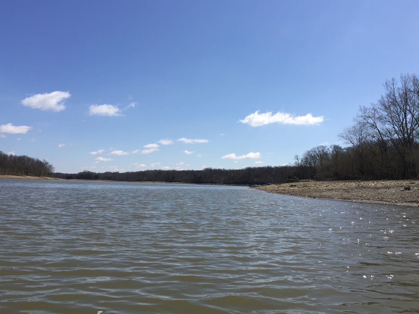
The boat ramp I plan to utilize the next time I go to Caesar Creek Lake is the Young Road Boat Launch which is also called Haines. This boat ramp is located on the far north edge of the lake where Caesar Creek feeds into it. This location was unusable the day I was there due to the 16-foot draw down. At normal water levels this would be the perfect spot to kayak.
 |
| Young Road (Haines) Boat Ramp |
 |
| 16-foot Draw Down Means No Paddling Here |
The fifth and final boat ramp is located in the campground. It is free to use by campers but costs $5.00 for non-campers. If you were camping this would be a great place to put in. If you are not camping then I would go ahead and put in at Young Road (Haines).
 |
| Campground Boat Ramp |
 |
| Where, Oh Where Has All the Water Gone |
 |
| View From Campground Boat Ramp |
Caesar Creek Lake was a pleasant surprise, in large part this was due to sections operated by the U.S. Army Corps of Engineers. It's amazing how much a clean open restroom can influence your view of a park. I want to return to Caesar Creek when the lake levels are normal and paddle the northern end. I would recommend fellow paddlers do the same.
May all your roads end in water,
Mama Duck Mona


No comments:
Post a Comment