28 June 2015
Lake #45 C.J.
Brown Reservoir, Buck Creek State Park, Clark County
C.J. Brown Reservoir, named for Clarence J. Brown who was a
U.S. House of Representative from 1939 to his death in 1965, is located
northeast of Springfield; the reservoir is approximately one mile east of State
Route 4 on Croft Road and approximately 3 miles north of U.S. Route 40 on Bird
Road and Buck Creek Lane. The U.S. Army Corps of Engineers built the 2,120-acre
reservoir for flood control and recreation; construction began in 1966 and was
completed in the fall of 1973. Buck Creek State Park is leased by the state of
Ohio from the U.S. Army Corps of Engineers. Based on past experience, there
will be a really nice dam and spillway area operated by the U.S. Army Corps of
Engineers and a not well maintained park operated by the state. When my
husband, my paddle buddy for the day, and I arrived at C.J. Brown Reservoir we
realized that we had left the seats for our kayaks at home. It is impossible to
paddle our kayaks without the seats. Luckily, we were able to get our teenage
son to bring them to us. I knew that if I drove all the way home that I wouldn't be in the mood to drive back. Waiting for our son gave us plenty of time to scope out
the park.
 |
| C.J. Brown Reservoir |
We started at the dam and spillway that are located at the
southwest corner of the reservoir. This area was well developed and cared for,
like I have come to expect from the U.S. Army Corps of Engineers. There is a 3.7
mile easy walking trail on Engineer Road that runs along the reservoir from the
dam to the U.S. Army Corps of Engineers Visitor Center. Informational signs are
posted along the way, so I now know a lot about this reservoir. The dam is
6,620 feet long and 72 feet tall. The control tower on the upstream side of the
dam has inlets at the bottom which allow the water to pass through a conduit
under the dam. The maximum depth of the reservoir is 50 feet near the dam.
 |
| C.J. Brown Reservoir Dam |
 |
| Control Tower |
 |
| Engineer Road Walking Trail Along Reservoir |
 |
| One of the Many Informational Signs Along the Walkway |
There are restrooms at the visitor’s center but not at the
dam. There is also a pretty garden with native Ohio flowers at the nature
center. The spillway area has picnic areas, a playground and restrooms.
 |
| Spillway Runs Under Engineer Road |
 |
| Spillway Up Close |
 |
| Dry Emergency Spillway |
 |
| Wildflower Garden at the Visitor Center |
 |
| View of Walking Trail From the Visitor Center |
After checking out the U.S. Corps of Engineers side of the
reservoir, it was time to head to the opposite side where both the state park
headquarters and an Ohio Department of Natural Resources Watercraft Office are
located at the main entry. Not surprisingly, the park office was closed. The
park has a swimming beach that is almost a mile long. Hardly anyone was out on
the beach; it was unseasonably cold and very windy (like that’s anything new
for Ohio). There were facilities here.
 |
| Almost Empty Swimming Beach |
 |
| Kite Surfers But No Boaters |
The only public boat ramp at C.J. Brown
Reservoir is the four-lane Buck Creek Ramp located at the main park entrance. There are
no facilities at the public launch area; the closest facilities are at the
beach. There is another single launch ramp located at the marina but it is for
dock users only. C.J. Brown Reservoir allows boating with unlimited horsepower. I had already decided not to put in here before seeing the wave action. While I waited for my son to arrive, I
watched kite surfers enjoying the high wind.
 |
| Four-lane Buck Creek Boat Ramp |
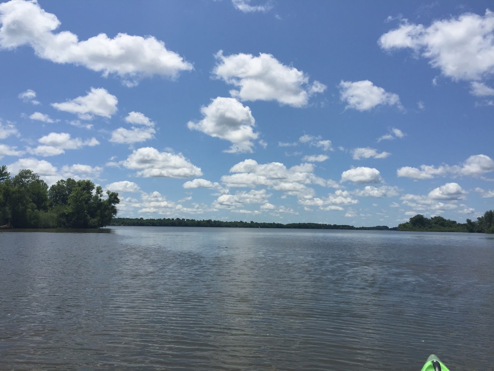
Once Michael arrived with our seats, we headed to the reservoir’s
north end. The northern portion of the reservoir is a no wake zone and has 10
islands to explore. A parking area is located on Temple Road off
Moorefield-Catawba Road. Once you park, you simply have to carry your kayak
down a short trail to Buck Creek which flows into the reservoir. It was easy to
do with two people. It would have been a bit more difficult by myself but I
could have still done it. Before entering the water, my husband and I checked
out the train tracks and bridge nearby. The train bridge runs over Buck Creek
and offers good views of both Buck Creek and the reservoir.
 |
| Parking Area st Buck Creek |
 |
| Path From Parking Lot Into Woods Next to Buck Creek |
 |
| Trail Down to Buck Creek |
 |
| Train Bridge Over Buck Creek |
 |
| Walking the Train Tracks |
 |
| Heading Out Over the Water |
 |
| What Do I Do If a Train Comes? |
 |
| Buck Creek as Seen From the Train Bridge |
 |
| C.J. Brown Reservoir From the Train Bridge |
Mama Duck Mona


No comments:
Post a Comment